The Freedom Tunnel - "Covered Tracks"


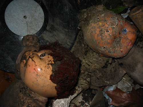
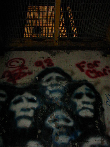
"Covered Tracks" is a short documentary inspired by my photography of industrial New York City. The film explores The Freedom Tunnel, a 50-block-long train tunnel running underneath Manhattan's Upper West Side. The tunnel was built by Robert Moses in the 1930's and once housed a huge homeless population. Today, it is largely deserted, although it contains an active Amtrak line. Children play in Riverside Park overhead as trains thunder through the wreckage below, past decades-old graffiti and the ruins of an underground homeless city.

"Covered Tracks" is a gritty portrait of this beautiful and rarely seen part of New York City. I directed the film, and co-produced it with Meghan O'Hara. Photographer Nate Dorr was an associate producer of the film. To create "Covered Tracks," we filmed for one year, pushing a homemade dolly down miles of train tracks.

"Covered Tracks" has screened at film festivals around the world, including Slamdance, the San Francisco Independent Film Festival, the Boston Underground Film Festival, and the Rooftop Film Festival in New York. It won the "Directors Award" at the Black Maria Film Festival.

For more information, visit the films myspace page.


Brooklyn Navy Yard: GMD Shipyard


November 28th, 2007 -

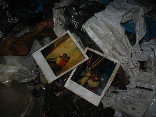
The GMD Shipyard lies within the Brooklyn Navy Yard and is rarely - if ever - open to the public. The shipyard houses three graving docks and at least eight cranes. After Ikea's recent destruction of the Todd Shipyard in Red Hook, GMD has become a vital resource on the waterfront. It is Brooklyn's last industrial ship repair facility and one of New York City's last remaining shipyards. Recently, according to workers in the Navy Yard, it was threatened with destruction, to be replaced by an extension of the film studios in the Navy Yard.

These photos were taken during a Portside New York event, a group that "seeks to breathe life into the relationship between landside communities and the maritime sector—to the advantage of both."

For more photoessays from the Brooklyn Navy Yard, click here.


Bush Terminal Park: Industrial Apple Orchard


November 14th, 2007 -

Brooklyn's Bush Terminal is located on the Sunset Park waterfront. It houses a collection of warehouses and train tracks. Behind this industrial area lies a fenced off "brownfield" - including a decades-old apple orchard, two unnatural ponds and a series of man-made bays. As explained by the NYC Council's Waterfronts Committee in an oversight document, the area was an active port until 1974, when its series of piers was filled in with "illegal disposal of liquid wastes at the landfill including oils, oil sludges, and wastewaters."

A total of $36 million has now been dedicated to redevelop this 23 acre site into a park. According to the official press release, this includes "the largest brownfield grant ever awarded by the state" of New York. A proposal map of the development included in a remediation document by the Department of Environmental Conservation includes plans for a mini golf course and children's soccer fields where this poisoned apple orchard now exists.

The redevelopment of Bush Terminal, like the nearby South Brooklyn Marine Terminal and the Brooklyn Army Terminal, is controlled by the New York City Economic Development Corporation (NYCEDC).

---
For more photo essays from Brooklyn's Sunset Park please visit the Brooklyn Army Terminal (2008), the South Brooklyn Marine Terminal (2009), Empire Electric (2009), S & S Machinery (2010) and the 68th Police Precinct (2011).


Manhattan Skyline


Bush Terminal Apple Orchard


Industrial Apples


Bush Terminal Pond


Abandoned Pier - Low Tide


Broken Landfill Cap


Dead Pier


Unnatural Bay


Forest of Green


Sunset Park Brownfield

Ellis Island: South Side


October 31st, 2007 -

The south side of Ellis Island is currently a network of abandoned buildings. This part of the island once housed contagious, pregnant and psychotic immigrants. It was home to isolation wards, measles wards, the morgue and an operating ampitheater, all connected by a series of linked passageways. These buildings have been "vacant and deteriorating" for the last 53 years and are in a state of "controlled ruin" like Philadelphia's Eastern State Penitentiary.

Ellis Island's south side is now facing a redevelopment. Plans range from creating a bed and breakfast near a measles ward to leaving the buildings in a permanent state of decay. The National Parks Service states that their preferred alternative would be to create an "Ellis Island Institute with Overnight Accommodations." For more information on this redevelopment plan, see The National Park's Development Concepts for Ellis Island.

---
For more photo essays from New York's half-abandoned islands, please visit The Encampment on Roosevelt Island (2007) and Governors Island: Manhattan's Ghost Town (2011).


The Encampment on Roosevelt Island


October 8, 2007 -

The Encampment was a 100 tent installation which stood for three nights on Manhattan's Roosevelt Island. Each tent was designed by a different contributor under the supervision of artist Thom Sokoloski. This massive installation focused on the dark history of the island, when it was known as Blackwell Island and Welfare Island, detailing its days as lunatic asylum, a prison and a ward for abandoned babies. The Encampment stood at the southern tip of the island, next to the abandoned smallpox hospital and across the East River from the United Nations.

---
For more photo essays from New York's half-abandoned islands, please visit Ellis Island: South Side (2007) and Governors Island: Manhattan's Ghost Town (2011).


Coney Island Creek


September 30th, 2007 -

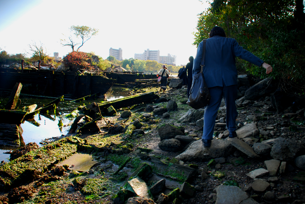
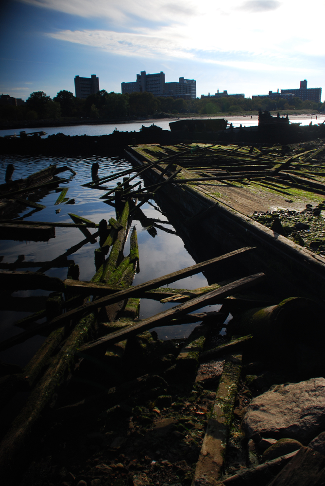
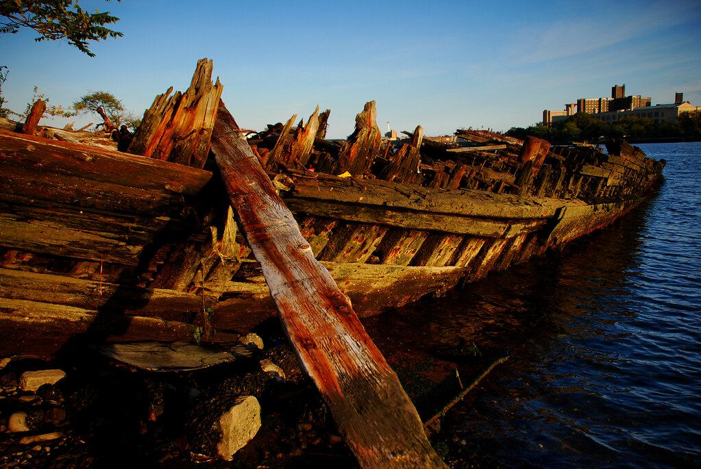
Coney Island Creek once divided Coney Island from mainland Brooklyn. It now houses a collection of ruined boats and one dead experimental submarine. This creek, like its Brooklyn siblings the Gowanus Canal and the Newtown Creek, was a once thriving waterway. It has now been left to decay and wildlife. Jellyfish, rats and fisherman line its banks. These photos document a tea party on the creek arranged by the creative group Ars Subterranea, which was founded by the artist Julia Solis.

---
For other photo essays from abandoned Coney Island, visit The Freak's Domain (2008), Under The Boardwalk (2009) and Abandoned Playland (2011).


Newtown Creek: Linden Hill Tracks


September 25th, 2007 -

North of the freight lines in East New York is a fork in the tracks: Bushwick Junction. One section heads towards the north side of the Newton Creek while the other goes west on dead-end tracks through the streets of Linden Hill. These photos are from Linden Hill, where you can walk above the Newtown Creek. The creek divides Brooklyn and Queens and has the dubious distinction of being the largest urban oil spill in the world. Its polluted waters are a deep green. Weeds and wildflowers thrive along its banks. It is a quiet space where homeless camp and burnt out cars are turned into art.

---
For more photo essays from Brooklyn's freight train tracks, please visit Underneath Flatbush (2007), Underneath East New York (2007) and Underneath Bay Ridge (2007).


Homeless Camp


Art Car


The End of Newtown Creek


Wild in the Spill