Long Island City: Hunter's Point South


March 26, 2008 -

Across from the United Nations in Long Island City, Queens, lies one of the last empty pieces of land on the East River. This 24 acre lot boasts dramatic views of the Empire State building from 30-foot-high cliffs, rolling hills covered in wild trees, and more access to the river's edge than any other site in Queens. Currently it is an idyllic, private barbeque spot, with homemade swings and benches looking out across the water at Manhattan's midtown rush.

Work has now begun to develop this plot of land into a massive housing complex. Given the name Hunter's Point South, this site is managed by the city's Economic Development Corporation (EDC). It is an extension of Queens West, the monolithic state-owned luxury-housing development to the north. The proposed map of HP South includes at least 13 high rise residences and three new city streets. Controversy over whether any of the 5,000 proposed housing units will be "affordable" has been reported in The Daily News and The Real Deal.

The EDC is resolutely focused on developing New York's few remaining industrial waterfront areas, with other projects including multimillion dollar projects in Sunset Park, the South Bronx, Staten Island and Willett's Point.


Abandoned Pier


Homemade Swing


Bench's View


Gramercy


Road to Queens West


Cliff and Woods


Danger on the Waterfront

Brooklyn Navy Yard: Admiral's Row


March 13th, 2008 -

Admiral's Row is located in the southwest corner of the Brooklyn Navy Yard. This strip of six buildings was abandoned by the Navy in the 1970's and left to decay. Today, the interiors of several buildings are in a state of irreparable collapse. Fires and rain have destroyed roofs and floors while squatters have left mountains of debris. Vines and trees have moved indoors. Windows and walls have exploded inwards. Entire floors are missing.

However, some of the buildings are in remarkably good condition. Their staircases, light fixtures, plasterwork, shelves, mantlepieces and wood floors are only in need of polish and paint. The beauty of these architectural details, when compared to the complete devastation in other buildings, is a stunning indictment of the Navy's neglect.
These historic buildings now stand empty and quiet, though their demolition is being planned to create a new supermarket. This controversial idea has been featured in the NY Times and written about at length on Brownstoner and Curbed. Historical information about Admiral's Row can be found at www.officersrow.org. These photos were taken in conjunction with the The Kingston Lounge, and in association with Pasilalinic-Sympathetic Compass, both of which have more photos of Admiral's Row.
For more photoessays from the Brooklyn Navy Yard,
click here.


Open Door


Pink Bathroom

Kitchen Window


Kitchen Cabinets


Fallen Plaster and Steps


Top Floor


Bathroom Detail


Blue Room


Stairs


Entry Steps


Grand Ballroom


Dropped Ceiling


Fixture and Wall


Collapse


Daylight Savings

Bronx Kill


February 28th, 2008 -

The Bronx Kill is a neglected, inaccessible waterway between Randalls Island and the Bronx neighborhoods of Mott Haven and Port Morris. It is an untamed waterfront, sheltering wild dogs and homeless camps. Ruined bridges and old piers line its banks, alongside freight train tracks which pass underneath sections of the Triborough Bridge and the Hellgate Bridge. At one point, a new footbridge and a multi-million dollar waterpark were planned for its shores, but those plans have not yet come to pass. Heavy industry still separates the surrounding community from this tidal strait.


Port Morris: Obstructed View


Hellgates End


Industry and Tracks


Bronx Kill Ruins


Under the Triborough


Dark Water


Ruined Pier, Manhattan Views

Dead Horse Bay


February 12, 2008 -

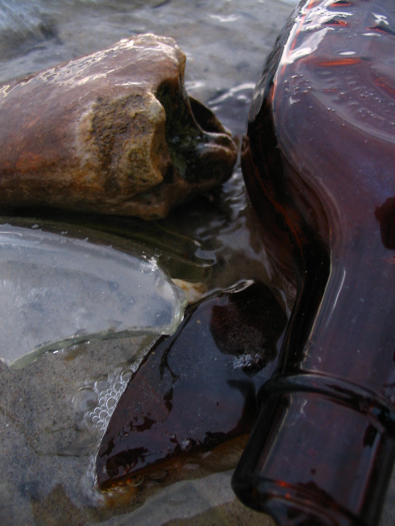
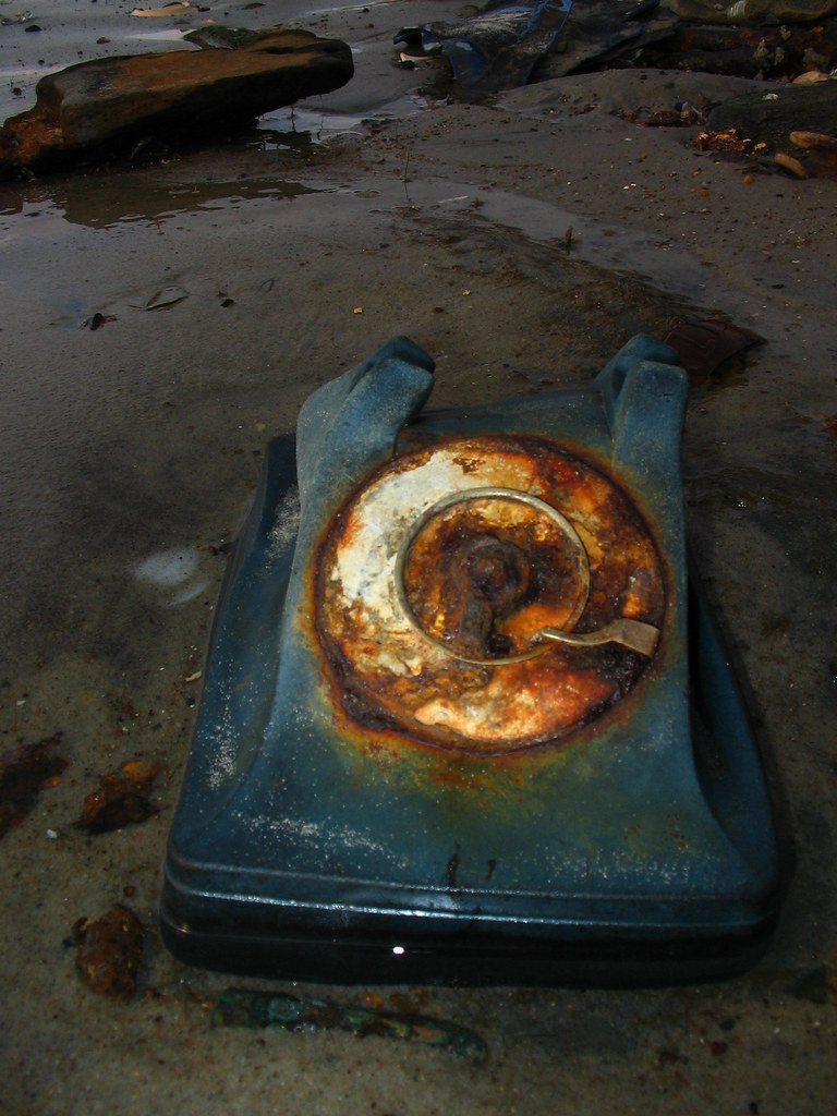
Dead Horse Bay lies at the southern edge of Brooklyn, across the street from Floyd Bennett Airfield. It is one of the oldest industrial areas in Brooklyn. A millstone from a 17th century Dutch mill still can be found inland, just off the shore. Dead Horse Bay's name comes from the carcasses that would wash up on its shores from a nearby horse rendering plant. Once a marshland, the area was slowly filled with rubbish. This landfill was capped after the refuse of the 1920's and 1930's filled the marsh. In the 1950's, the cap burst, spewing the artifacts of a different era onto the beach. Now glass bottles, shoe leather, plastic toys, old bones and handguns lie revealed along the waters edge.


Staten Island: North Shore


January 31st, 2008 -

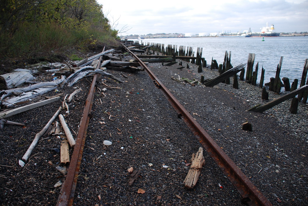
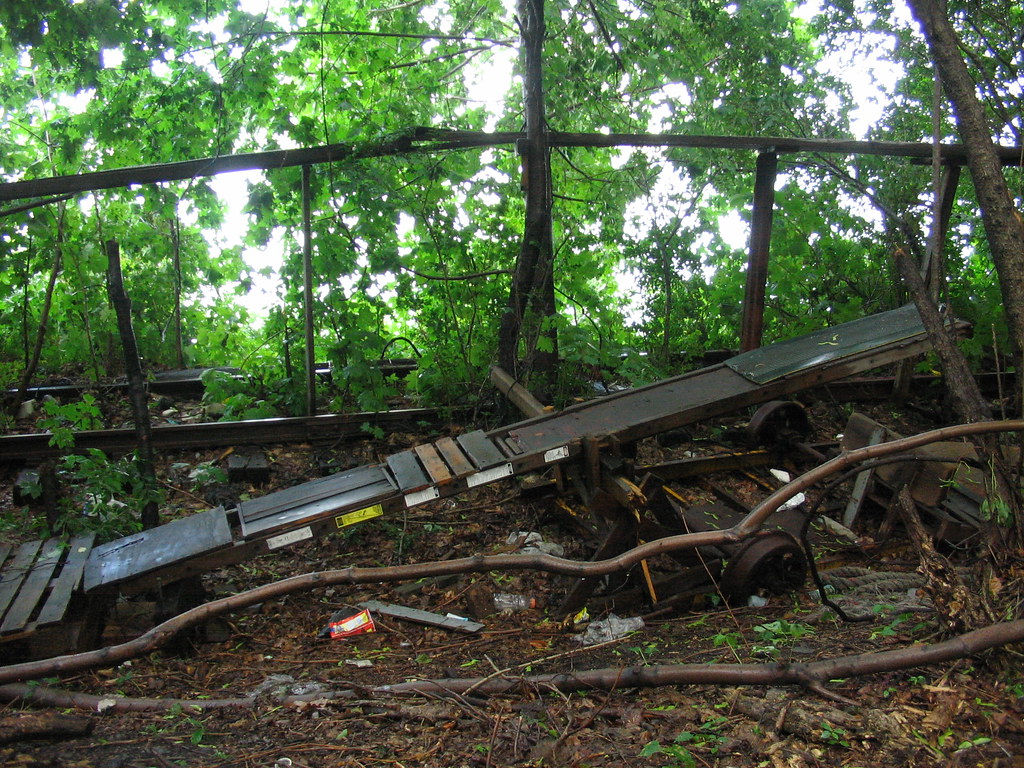
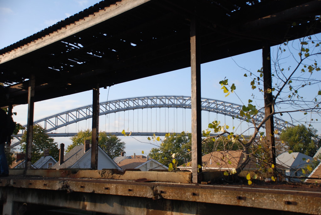
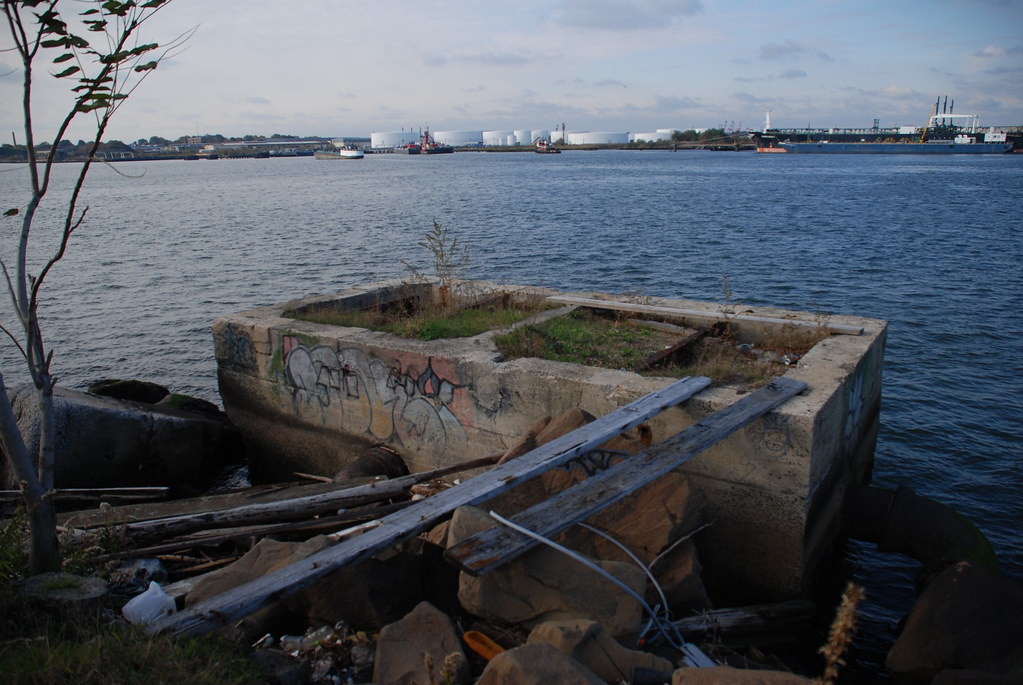
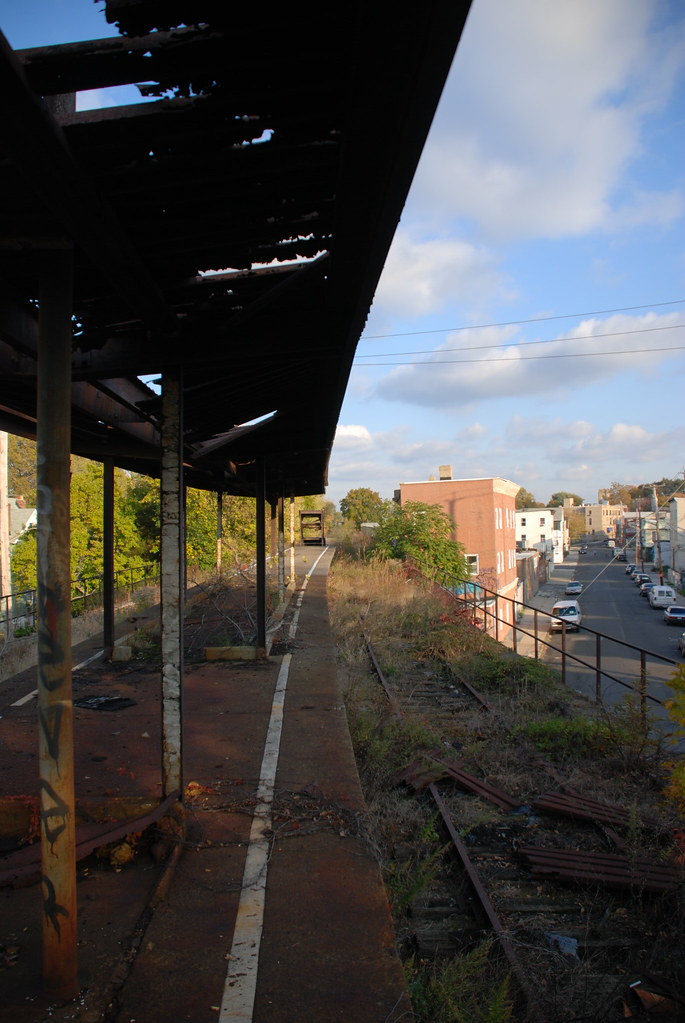
An abandoned rail line traces the edge of Staten Island's northern shore. Before moving inland into a series of abandoned stations, the line passes by decommissioned factories, several shipyards, a homemade BMX stunt track, and travels over sandy beaches littered with debris. In some places, the rails hang unsupported in mid-air. In others, fisherman make use of the old tracks to reach their private fishing platforms. The north shore of Staten Island is still a wild place, where birdwatchers, abandoned boats and heavy industry collide.

The old North Shore Train Line was built in 1883 and abandoned in 1953. The westernmost section of track, serving the Arthur Kill and connecting to New Jersey, was recently renovated and reopened in 2007. According the the Mayors Office, this reactivation "...creates more than 330 permanent jobs and reduces truck traffic on [Staten] Island by 100,000 trips per year." A $360 million plan to reactivate the entire north shore line are being considered by congress. More information on the train line can be found at Forgotten New York. More photos from Staten Island can be seen here on Flickr.


Factory Deconstruction


Decommissioned


Hanging Tracks


BMX See-Saw


Fishermans Perch


Abandoned Elevated Station


Bayonne Bridge


Abandoned Sunken Station


Platform and Bridge